
Trace an Oxford Street Directory Address
A street-by-street inquiry in Oxford should follow the record that is actually keyed to the address. The Butler County Auditor is the first stop because its property system connects a physical address to a parcel, current owner field, mailing field, and legal description. That supplies the identifiers needed for the Recorder, whose index follows instruments rather than a simple house-number list. Oxford GIS then helps place the address in the city’s street, zoning, and annexation context. Each result answers a narrower question than “who lives there,” so retain the source and date for every fact.
The chain below is the dependable sequence for an Oxford address. It deliberately separates a recorded owner, a party to a deed, a voter registration confirmation, and a historical address lead. A match in one source can point to the next source, but it should not be stretched into a claim the record does not make.
- Open the Butler County Auditor Property Search and use Address Search with the street number and street name. Save the parcel ID, situs address, legal description, and current owner field.
- Use the Oxford Maps & GIS hub to orient the parcel on the street and check the address against city geography. Map information is useful context, not a boundary survey.
- Search the owner or legal description in the Butler County Official Record Search. Begin with the grantee and legal-area controls, then record the prior grantor, document number, date, and legal description from the matching instrument.
- For an individual registration question, use Ohio’s My Voter Information form with first name, last name, and county. A street-name narrowing control may appear only after those required fields; it is not an open street roster.
- For an older address lead, ask the Smith Library of Regional History whether a reverse or criss-cross directory is held for the approximate year. Pair any result with its specific edition and another dated source.
Note: Record the exact spelling, unit, and suffix before moving to the next source, because small address differences can break an otherwise sound Oxford search.
Oxford Street Directory Search Fields
The Auditor’s address tools are unusually useful for an Oxford street search because they keep address and parcel work separate from owner-name searching. Address Search has Street Number and Street Name controls. The research capture says not to enter a suffix in the Street Name field, permits a wildcard, limits the number to five characters and the street name to 20 characters. There is no verified ZIP field in this mode. If an address does not resolve, Map Search and the Oxford address viewer provide a geographic check before a broader name search.
| Butler Auditor control | Input | When to use it | Oxford-specific note |
|---|---|---|---|
| Address Search | Street Number and Street Name | Starting from a known location | Do not enter a suffix in Street Name; no ZIP search is verified. |
| Owner Search | LastName FirstName | Checking an owner field after an address hit | No comma; partial names and * wildcard are supported. |
| Parcel Search | Parcel number | Returning to one confirmed parcel | Full or partial input is accepted; ordinary parcels are typically 14 characters. |
| Map Search | Map mode | Checking parcel placement | Visually confirm the parcel instead of inferring a nearby property. |
| Advanced Search | At least one stated criterion | Narrowing a documented parcel fact | Supports address, legal, parcel, sale, value, and physical-attribute criteria. |
The Auditor’s displayed data-current date is a system status, not a promise that every record began online on a certain date. If the web screen is unavailable or a map is needed, the Auditor accepts a GIS map request identified by parcel number, property address, or property description. The Auditor counter is at 130 High St. in Hamilton, and the office lists 513-887-3154 for questions about the parcel system.
The Butler County Auditor GIS information page supplies the County’s official mapping route for parcel context.
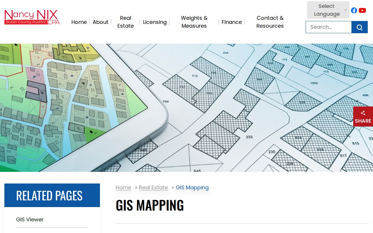
Use the map to locate a parcel and then read the matched Auditor record rather than inferring a person or property detail from map proximity.
Oxford Street Records by Address
Several Oxford records can be reached from the same location, but their scope is different. The parcel card is the current tax-record layer. The Recorder documents transfers and other instruments. GIS supplies the spatial layer, while permit reports add a date and project type. A historical directory can sometimes turn an address into a past name lead only after the holding and edition are confirmed. The table keeps those lanes visible so an address result is not mistaken for a complete resident list.
| Address record | Custodian | Useful result | Access path |
|---|---|---|---|
| Parcel and tax card | Butler County Auditor | Parcel ID, situs, owner field, mailing field, legal description, values, transfers | Public Property Search, counter, phone, or GIS map request |
| Recorded instrument | Butler County Recorder | Grantor, grantee, document type, recording date, number, book/page, legal route | Official search, email, fax, mail, or counter |
| Address and city layers | Oxford Community Development | Street placement, address geography, zoning, and annexation context | GIS hub or GIS Coordinator request |
| Permit or parcel-transfer report | Oxford Community Development | Address, project type, permit number, issue date, or transfer lead | Published reports, GovWell-era dashboard, or department request |
| Historic directory or newspaper lead | Smith Library, BCHS, or Miami collections | Name-and-address context when the specific item supports it | Shelf, archive, appointment, or collection inquiry |
A parcel ID and legal description are the strongest handoff between the tax and deed systems. Street wording alone may fail in older instruments, so the legal description, subdivision, lot, city, township, or book/page reference often carries the search across sources. Note: A tax-bill mailing field can be outside Oxford and is not a statement about who occupies the property.
The Auditor parcel-card route is the field-rich property view used after an address or owner search finds the PIN.
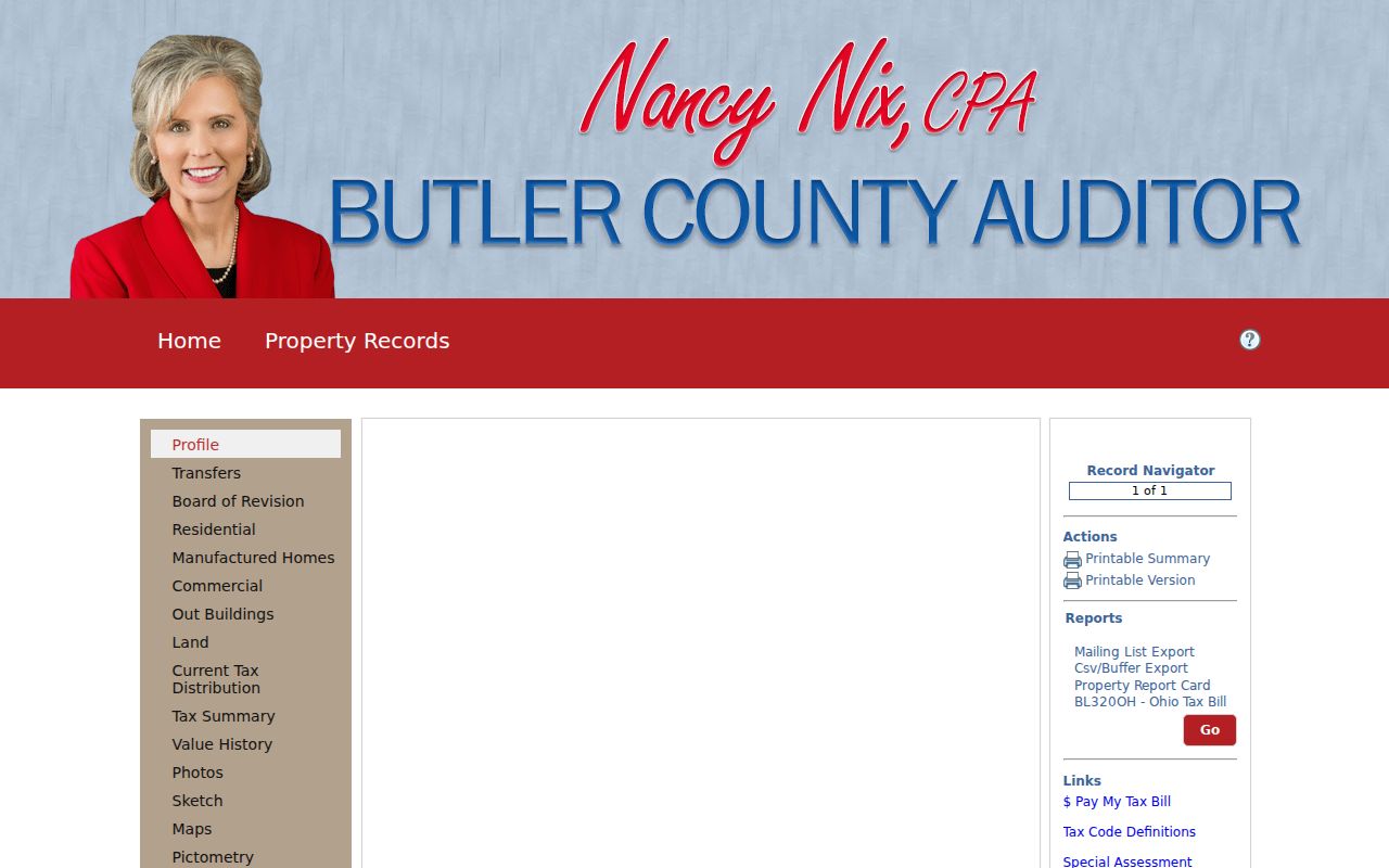
Its separate situs, owner, mailing, legal, transfer, value, map, and sketch fields make the property-record limit visible.
Oxford Street Directory to Recorder
Once an Auditor result identifies the parcel and current owner, the Recorder supplies the document chain. In Advanced Search, Party Names, Grantor, Grantee, dates, document types, document numbers, Book, Page, OCR text, and City, Subdivision, Township, or Condo legal sections can be combined. Use the owner as a grantee or enter a supported legal-area detail. The Recorder does not provide a verified house-number situs field, which is why this address workflow begins with the Auditor instead of the Recorder.
For a transfer trail, open a matching result, preserve the legal description and prior grantor, then search that predecessor as a grantee while keeping the legal detail in view. Quick Search offers index-only and OCR full-text scopes with date shortcuts. OCR is a supplemental lead, since multiple words are searched individually. The Recorder describes partial party-name searching, and the party prompt uses last name followed by first name.
Online coverage should be stated carefully. The official search was certified through August 27, 2026 when researched, but the portal does not state its historical start year. For material beyond the web route, the Recorder has Legacy Search for 1987 to present and separate geographic, other index-book, grantor-grantee, historical book, plat, atlas, and annexation paths for earlier material. The Recorder’s 130 High St. office can handle email, fax, mail, and counter copy or index requests at recorder@bcohio.gov, 513-887-3192. It says it will try to accommodate up to five requested records free by email each day, then lists $2 per page above that threshold; confirm current copy and certification charges before ordering.
The Recorder Advanced Search screen shows the party, date, document, OCR, and legal-description controls available for a documented Oxford street trail.
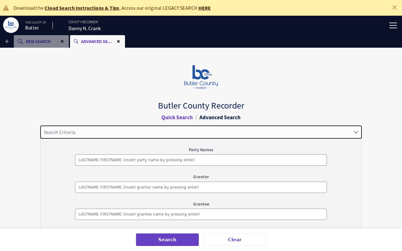
Combine only the fields supported by the evidence in hand, and use a legal description when a historic instrument lacks the current street number.
Oxford Streets Beyond the Mile Square
Oxford’s street geography changes the way an address-record result should be read. The original town streets were platted in 1810, Oxford incorporated as a village in 1830, and later growth extended from the original Mile Square into subdivisions and annexed corridors. The city’s annexation-history map uses the original Mile Square and decade bands through 2020 to the present. A past description may therefore say Oxford Township, rural Butler County, or City of Oxford even when it refers to a land trail that can be bridged through the same legal description.
“Uptown” is a literal higher-elevation geographic clue, not just a district label. For material around the older High, College, Main, and nearby original-Mile-Square blocks, it can help focus a map, newspaper, photograph, historic-district, or Community Development search. The Oxford annexation history map is useful for context, but recorded deeds, plats, and a professional survey control legal precision.
A postal city label also needs a jurisdiction check. Oxford’s verified current postal identity is 45056, but a ZIP or mailing city alone does not prove municipal location. The City viewer and parcel route are the better check when the location may lie near a city boundary or when an older record uses township wording.
Oxford Street Permit Dates
Permit reports are an Oxford-specific way to add physical-change dates to an address trail. Community Development publishes issued and finaled reports, including address, permit number, permit type, and issue date. The city changed to GovWell for building permits on May 1, 2026, so treat a current dashboard row as a record from its system era rather than as a complete historic file. Where the date range is older, ask Community Development for the relevant record series instead of assuming that a new interface reaches backward.
The Oxford building and zoning permit page is the source shown below. A permit can establish a regulated project at an address and date, but its applicant or contractor field does not establish ownership or current occupancy.
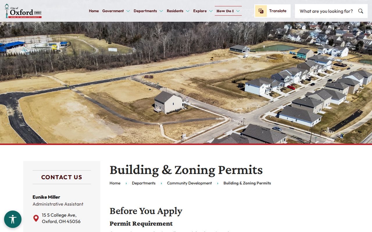
Use a monthly report or current dashboard result to narrow an address and time period, then keep the Auditor and Recorder records as the land-record authorities. Community Development lists 513-524-5204 for address and record-series questions.
For municipal records not available through a report, the Oxford Clerk of Council public-records route accepts an online request but does not require that form. A focused request can state the street number, street name, date range, record series, and delivery format. In-person inspection is at the Municipal Building, and the policy says electronic delivery is free when feasible while copies cost the actual supplies or delivery cost.
The Oxford Community Development reports page is the official monthly-report route for current permit and parcel-transfer context.
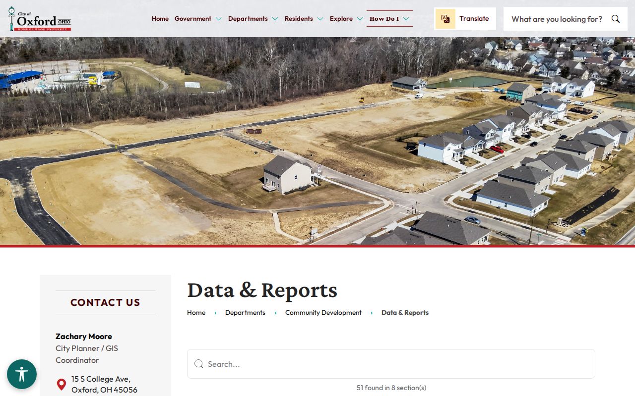
A dated report can identify an address-related project or transfer lead, but it remains distinct from a current-resident finding.
Oxford Street Voter Checks
Ohio’s voter lookup is a confirmation channel for a named person, not a tool for browsing a street. The official form requires first name, last name, and county and returns registration, precinct, and polling information. Research found that a street-name control may be available after those required inputs. That order matters: a property address should never be converted into a broad list of people through a voter query.
Butler County’s Election Vault public-records page offers public CSV downloads, including Oxford city or township files, and a voter-record public-records request route. Inspect the current file notice and applicable exclusions before using any download. Ohio law excludes sensitive identifiers and protected data, including Safe at Home and protected-worker information, and ballot selections are not disclosed through this type of lookup.
Note: If a record is protected or unavailable, accept that boundary and verify a different public fact through the proper custodian.
Oxford Street Historical Leads
Historical address work belongs on the shelf as much as it belongs online. The Smith Library of Regional History, on the second floor of Oxford Lane Library, holds directories, maps, newspapers, photographs, books, and yearbooks for Butler County and Southwest Ohio. Its published holdings description does not give an exhaustive Oxford city-directory title, publisher, or year list. Ask staff for Oxford, Oxford Township, county or rural, reverse, criss-cross, telephone, and yearbook material for a stated street and approximate year rather than presuming a particular volume exists.
Butler County Historical Society is the wider county fallback. Its holdings include family files for more than 5,000 Butler County names, directories, the Oxford Press and College Corner News, schools, reunions, churches, businesses, and settlement material. The society’s verified detailed directory span is for Hamilton and Middletown, not a continuous Oxford run. An inquiry for an Oxford family file, county or rural directory, map, newspaper, or organization file is more accurate than claiming a city-volume chronology that has not been published.
For the fuller historical-shelf method, use the Oxford Directory Book collection page. It keeps the edition-by-edition and archive work separate from the modern street record chain.
Oxford Street Record Terms
Address research becomes more reliable when each term stays tied to its source. The parcel and situs field come from the tax system, while the legal description is the bridge to a recorded instrument. A historic street source may use a different arrangement entirely. These definitions make the handoffs clear.
- Parcel
- A tax-system identifier for one property record. In Butler County it is the practical key for returning to the same Auditor card.
- Situs address
- The physical property location. It is distinct from the address used for the tax bill.
- Plat
- A recorded map or plan that can identify lots, blocks, subdivisions, and streets. It helps connect map context to legal land wording.
- Legal description
- The lot, block, subdivision, city, township, condo, or other recorded land wording used to match a property in Recorder searches.
- Criss-cross directory
- An address-ordered directory format that can yield a historical name lead only when a specific title and year are confirmed.
Oxford GIS also distinguishes map context from legal authority. Its data can establish how the city depicts an address, street centerline, zoning district, or annexation band. For a disputed line or exact dimension, rely on the recorded deed, plat, or professional survey.
Limits of Oxford Street Records
Oxford address records are not a complete account of every person at a location. The Auditor identifies an owner of record and tax-bill destination. The Recorder identifies parties to a recorded instrument. Permits document an address event, and a historic directory can be limited to the edition’s stated coverage. Utility, postal-delivery, DMV, and protected-address information are not public rosters. A missing result may reflect a different source scope, a time gap, a legal protection, or a record that requires a counter or archive request.
Lawful use. Use Oxford address and street records for personal, lawful research, civic questions, family history, or property context. Do not use them to stalk, harass, threaten, or harm anyone, and never try to reconstruct a protected address.
Ohio Safe at Home participant information is exempt from public disclosure, and court or other custodians may have separate redaction rules. A gap that protects someone’s safety is not a research problem to solve. When a needed record is public but not online, make a narrow request under Ohio’s Public Records Act or contact the named county or city custodian.