
Oxford ZIP Code Coverage, Verified
Only one postal code is supported by the Oxford research. City materials, Oxford Lane Library, and Miami University sources all publish Oxford mailing addresses with 45056. That confirms a postal-city association, not a line around the municipality or a list of people. No authoritative source reviewed for this build established another code for addresses inside the City of Oxford, a post-office-only code, a unique institutional code, or a postal realignment date.
| ZIP | Areas Covered | Post Office | Notes |
|---|---|---|---|
| 45056 | City of Oxford mailing addresses verified at City, Lane Library, and Miami University sources | Oxford postal city | Postal geography is not the municipal boundary; verify a specific address with USPS |
Nearby regional postal labels must not be expanded into City of Oxford coverage without an address-level USPS or City source. The research specifically did not verify 45003 or 45064 as serving City addresses. A postal label is a delivery reference, not proof that the address lies inside Oxford city limits.
Note: An Oxford postal-city result alone is not a municipal-jurisdiction finding for a specific individual address.
Confirm an Oxford ZIP Code by Address
The direct verified postal check is the USPS ZIP Code Lookup. Enter the full Oxford address, then retain the returned postal result as an address-level check. This is more reliable than assuming a code from a mailing city, a regional map, or a nearby community name. It does not provide a roster, a parcel history, or an ownership finding.
- Enter the full Oxford address in the USPS lookup and retain the returned postal result.
- Compare that result with the City GIS or Auditor address result when city jurisdiction or parcel context matters.
- Carry the address, parcel identifier, and legal description into the appropriate property or Recorder search for a land-record question.
- For an earlier address, give the known road, place name, and approximate year to the Smith Library or an archive rather than applying a modern postal term.
The USPS address lookup is the source used for the postal-verification route.
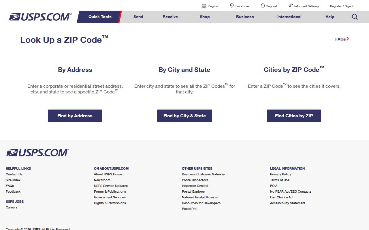
Use the returned result to confirm delivery geography before moving to parcel or municipal sources. When the goal shifts from a code to an exact street, the Oxford street directory lookup follows the address and parcel trail in greater detail.
Oxford ZIP Search Fields That Are Supported
The research captured an address-level USPS route, but it did not find a ZIP filter in Butler County Auditor Property Search. The Auditor's top-level modes are Owner, Address, Parcel, Map, Advanced, and Sales. Ohio My Voter Information is name-and-county based. It would be inaccurate to promise a countywide property or voter search by postal code. Use the postal check first, then move to an address or name workflow.
| Portal | Field or Control | Type | Required | Verified Use |
|---|---|---|---|---|
| USPS ZIP Code Lookup | Full Oxford address | Address entry | Yes, for an address-level check | Confirm postal geography for the specific address |
Ohio DRC has a postal-code field, but it searches only people on APA supervision or listed as violators at large and returns a last-recorded address. It is not a general Oxford source and must not be treated as one.
Oxford ZIP Code Boundaries and City Limits
Postal boundaries and municipal geography answer different questions. Oxford's City GIS records address, street-centerline, zoning, and other mapped data, while the Butler Auditor links a parcel to the tax roll. The City's annexation history map shows the original Mile Square and later decade bands through 2020 and later. An address can carry an Oxford postal label while its city or parcel jurisdiction still needs to be checked with the map and property sources.
Oxford was laid out in 1810 and annexations began in the 1950s. The research documents city growth to 1.25 miles in the 1950s, roughly four miles in the 1980s, and 5.7 miles by 1996. For an older record, the same land may be described as Oxford Township, rural Butler County, or later City of Oxford. A changed city or postal term does not break the land trail. Use the legal description, subdivision or plat, and adjacent roads to connect the terms.
Note: Legal descriptions and parcel maps bridge changing geographic vocabulary better than a current postal label.
Oxford ZIP Results Need a Parcel Crosswalk
Once a delivery code confirms the address, the Butler County Auditor and Oxford GIS become the more precise local tools. The Auditor's Address Search accepts street number and street name, allows wildcards, and tells users not to enter a street suffix. The City Address & Property Viewer offers a city address search and connects an Oxford address to county-parcel information. A map is useful for orientation, but the City warns that recorded deeds, plats, or a professional survey control dimensional precision.
Keep three fields distinct. A situs address is the physical property location. A mailing address is where the owner receives tax bills and may be somewhere else. A legal description is the parcel's stable lot, block, subdivision, city, township, or condominium description used in Recorder searching. A postal code is not a Recorder legal-description key. This is why a confirmed Oxford delivery code should lead to an address and parcel check, not an assumption about a property's history.
Oxford ZIP Checks and Address Events
A postal match can also direct a time-specific address question to Oxford Community Development. The City's dated permit reports identify an address, permit number, permit type, and issue date. Oxford launched its GovWell building-permit system on May 1, 2026, so the desired period matters. The dashboard and reports are address-event sources, not evidence of ownership or current occupancy. When the needed year is absent, ask Community Development for the relevant record series and date range rather than assuming the current display reaches every period.
For a land-transfer question, carry the Auditor parcel ID and legal description to the Recorder's official index. The Recorder can be searched by party, document, date, and legal-area information, while older material may require the Recorder counter, an email request, or geographic and historical indexes. This sequence preserves the distinction between postal delivery geography, City address context, and a recorded land document.
Oxford ZIP Searches Are Not Voter Rosters
Ohio My Voter Information requires first name, last name, and county, with Butler selected for Oxford. A later street-name control may narrow a match, but the initial form is not postal-code based. It is designed to confirm one person's registration, precinct, and polling information. A voter result cannot establish the people at every address in 45056, and a missing result may reflect a protected record, a name variation, a prior county, or normal list-maintenance status.
Butler County Board of Elections is the proper channel for an official precinct-list question, a historical poll-book inquiry, or a narrow voter-record request. Its Election Vault offers public CSV downloads and a voter-record public-records request resource, but statutory exclusions still control. Safe at Home participants and protected designated-public-service-worker addresses are among the information that must not be exposed or inferred.
Note: Postal geography narrows an address question; it does not turn civic records into a directory of people.
Oxford's Mile Square Changes Postal Context
Oxford's original Mile Square, the Miami campus, later subdivisions, and annexed corridors leave different clues in maps and records. The word Uptown is literal local geography, referring to Oxford's higher-elevation historic area. It can help choose the right historic-district material, map, photograph, or Community Development file around High, College, Main, and nearby original-Mile-Square blocks. It is not a postal boundary and should not be substituted for a city or parcel check.
The City GIS hub and annexation map supply the municipal context. For a historic property question, pair that context with a recorded legal description and the time-specific record. Modern permit data can be field-rich, while older work may require a directory shelf, Recorder index book, cemetery ledger, diary, or newspaper. Each source documents a different layer of Oxford geography.
Oxford ZIP Directory Sources for Earlier Addresses
Older Oxford materials generally do not use modern postal codes as their primary key. The Smith Library of Regional History holds directories, maps, newspapers, photographs, local-history books, and yearbooks, and its research-request service includes a Property History option. Ask staff for the address, approximate years, and record type, including whether a reverse or criss-cross directory is available. The research does not verify a complete Oxford directory run, so a librarian should confirm a title and year before it is relied on.
Lane Local History and Genealogy identifies the Smith Library research route and its collection types.
That request route is especially useful when an old location is described by a road, township, or parcel clue rather than a current postal term.
Miami University Special Collections' Oxford portal adds church materials, diaries, address books, institutional records, and local-history collections.
Archive descriptions and item dates help separate a historical Oxford connection from a current postal or parcel finding.
Miami's Recensio annual collection is another documented Oxford-era source.
Recensio covers 1869 to 1871 and 1905 to 2015 with stated gaps, so it supports a dated student-history question rather than a current address conclusion.
Oxford ZIP Code Directory Terms and Limits
Postal vocabulary can sound more precise than it is. Use these terms to describe the delivery system without turning them into a boundary survey or a people list. USPS remains the final address-level check, while City GIS, Auditor, Recorder, and archival sources each answer their own separate question.
- ZIP and ZIP+4
- A ZIP identifies a postal delivery area. ZIP+4 adds a more specific delivery segment, but neither establishes a city boundary or parcel ownership.
- PO-box ZIP
- A postal code used for post-office-box delivery. No Oxford post-office-only code was verified in the research.
- Unique ZIP
- A code assigned to a single organization or destination. No unique Oxford institutional code was verified in the research.
- Carrier route
- A postal delivery sequence used to organize mail service. It is not a municipal district or a resident list.
Postal limit. A ZIP result verifies delivery geography for an address. It cannot prove city jurisdiction, current occupancy, ownership, or every person associated with the area.